|
Travels
with Ivan
Kia Ora. This page is a way to save and share some images and words from my travels in New Zealand in my new campervan.
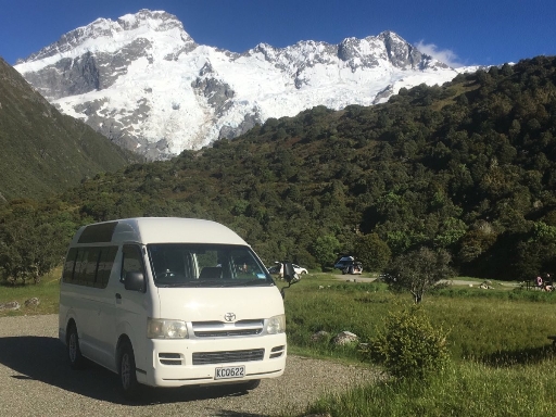
First a look at the van Toyota
Hiace KCQ 622 - aka Ivan


2005 Toyota Hiace – imported from Japan – former wheelchair taxi – 4 cylinder petrol engine – 181,000 km Fitted out as a camper by Cruzar Custom Campervans (https://cruzarcustomcampervans.co.nz/)
The driver's compartment is standard – and the passenger seat mostly storage for me. The engine is under the seats, which means that you need to get out of the driver's door to get into the living quarters.
The sliding door on the passenger side opens onto the kitchen – which has a sink with some storage underneath – the 25 liter fresh water tank is also under there. The gray water tank is under the van.
The 3 drawers hold cutlery, cookware and dishes and camp stoves. The 22 liter fridge runs on 12 volts.The bed is a high quality foam mattress – king single
. Under the bed is a pantry
drawer and the porta potty. Running down the side are 2 large storage bins – one is more pantry and various supplies, the other is clothes. Because of the extra height (interior is shoulder height for me) the rear door is nice and high giving good shelter and not posing a head knocking hazard. The space under the bed at the rear contains a large pull out drawer full for backpacking supplies, a folding table and chair, the fresh and grey water hoses and the golf clubs. The golf clubs fit into a space designed for them. There are two comfortable seats – one using the bedding and a spare pillow to form a kind of armchair. But
the highlight is the dining/office chair and table.
The chair is mounted on the box that holds the deep
cycle battery. No solar yet, as recharging from the
alternator while driving is enough so far. The mount
is a swivel rocking chair mechanism – so the chair
rotates and reclines. The table is mounted on a
gooseneck so can be placed where needed. There is an
inverter behind the drivers seat for charging various
devices, including the laptop.I even have a printer!
My first destination was south to walk the Routeburn / Greenstone Track circuit. The Routeburn is a "Great Walk" - which in NZ terms means that you must have reserved hut bunks - or camp. The hut bunks are normally all taken for the full season as soon as they become available. 2021 was no exception - but Auckland went into lockdown, and the Aucklanders were forced to postpone or cancel their bookings.So I was able to snaffle them. 5
Days / 4 Nights on the Routeburn / Greenstone
Circuit December 10 – 14, 2021
I was well prepared with all the essential gear, a
good selection of lightweight food, and even a new
Personal Locator Beacon. Despite this, I knew within
the first 2 hours that I had bitten off at least as
much as I could chew.
I was reminded of a conversation I once had with a
novice tramper. My mate Ted and I were attempting a
crossing of the Alps in Arthur's Pass (Trudge Col
from memory). We were washed out and ended up in a
hut on the Taramakau River with a school group. When
asked how he was going on his first ever tramp, the
lad replied “I like it Ok I guess, and I’m told
that, with experience, you come to enjoy the walking
too!” I enjoyed some of the walking on this circuit,
but I enjoyed all of the stopping a lot more.
I decided I needed to take it on as a physical and
psychological challenge. Excelsior!
The first day was a steady climb entirely through
the bush – fantastic. Various pack adjustments along
the route improved things considerably. The Falls
Hut was congenial, comfortable, and very welcome.
Day 2 – A superb day – one of the 10 best tramping
days ever in NZ for me! It started inauspiciously
when the Hut Warden announced that he had 20mm of
rain in his gauge overnight. The clouds were
swirling all around the hut with light rain. When
the warden posted the weather forecast at 9am it was
for improvement during the day. I resolved to wait
for 2 hours to try to let it clear – but after 1
hour: nearly everyone else was gone, I had read all
the history and natural guides in the hut, and I had
started to leaf through a year-old Readers Digest. I
went.
So, the start of Day 2 was a continuation of Day 1 –
uphill through the bush – albeit with the Falls
right next door. In the past, at altitude, I have
found it useful to have a mantra to enforce a steady
slow pace. There was no altitude problem here (1277m
tops) but my lack of fitness required a similar
approach. I became the Little Engine That Could
“I think I can, I think I can…”, or reminded myself
“Walk then gawk, Gawk then walk…” when the scenery
was tempting, or the pithy and useful “Don’t trip,
don’t fall” for tree roots and rock hopping.
As I climbed, and the Falls thundered to my right, I
gained the bush line and the clouds slowly lifted to
reveal the basin and ridges to Harris Saddle. It
seemed that they rose just in time to keep in front
of me. I shed layers and enjoyed the emerging views.
This day, from the Falls to Lake Mackenzie, is, in
my experience, the most wonderful of all New Zealand
tramping days. It is 90% above bush line - through
tussock and wildflowers to the Harris Saddle – then
along the Hollyford Valley for gob-smacking views –
with the roaring Falls to start and a pristine
alpine lake to finish. Add nice huts with “happy
campers” and it doesn’t get much better.
For me, the transit of the tops was variable – some
sun and views, some looking over or into the mist.
Lake Mackenzie was in full sun. The afternoon of
swimming and splashing in the cold water and warm
sunshine had everyone laughing.
The lake shore is dotted with angular glacial
erratic boulders. I am surprised when people try to
sit on rocks like a stool. Clearly the best is to
find a soft spot on the grass with a slanted rock
for a backrest – so I did – and enjoyed the show.
Day 3 – For most walkers the Routeburn is a 3 Day /
2 Night walk. Day 3 starts with a steepish climb (“I
think I can”) that levels into a gentle traverse and
includes crossing below another impressive
waterfall. The others would continue out to the road
– while, after 4 hours, I turned left into the
Greenstone Valley to complete the circuit.
Along the traverse I got some of the views missed
yesterday. I had not touched the camera since the
start, and over time have come to embrace
camera-free days more and more. I have plenty of
images of flowers, and cascades, and mountain tops –
and know that a camera can mean trading present
experience and pleasure for future memories and
creative activity. For some nice photos in weather
similar to mine try: https://www.walkmyworld.com/posts/32-photos-to-inspire-you-to-hike-the-routeburn-track
More than 90% of the trampers had only their phones
– no camera. I have never been a believer in the
cellphone as camera, but decided I better join the
selfie generation. Here is mine:
I love the New Zealand bush. It is so primitive, so
dense, so green, so mossy and ferny, and so gnarly.
But, also so dead. I saw only 4 birds on the
Routeburn (2 tom tits and 2 kea) despite seeing 400
hundred or more traps for introduced predators -
rats and stoats. I was told things are getting
better – but I would have seen many more native
birds at home. The Land of the Birds has been
harshly treated by we humans.
In a first-in-a-lifetime experience, I had the
entire 20 bunk McKellar Hut to myself. Something of
a contrast to the 50 or so the previous nights. All
good really – and luckily someone had left a
week-old newspaper with undone puzzles, and I had
some scraps of paper to write a bit of this journal.
I am starting to feel fitter – but still have a way
to go. There are guided walks that do this route –
see: https://www.ultimatehikes.co.nz/multi-day-guided-walks/grand-traverse/ - so perhaps next time it
will be my bank account and not my body that
suffers!
Arrowtown is a historic gold mining town - In the 1860s the rush was on.
Some of the cottages that they built in that era survive.
Meanwhile, the new gold rush in Arrowtown is not sparkly metal, but rather scenic escape. And the cottages built by the people rushing in are somewhat more substantial. And if
you purchased this cottage near downtown for the $NZ
1.865 million selling price you would be very close
to the quirky and challenging Arrowtown Golf course
- www.arrowtowngolf.co.nz
Mt.
Cook On the way back to Christchurch for Christmas I had a magic day in My Cook - the 600m climb and descent on a steep staircase track tested both my fitness on the ascent and my knees on the descent.Both passed (B- minus I reckon). Christmas with our adopted Kiwi family in Christchurch was great. I spent New Years Eve at a party at the Boathouse in Nelson - on the harbour, brilliant sunset, nice supper, funky R&B band and chats to interesting people. A good start/end to the year. Golden Bay Following which it was "over the hill" to Golden Bay, where I did another 5 day/4 night tramp. This time with my new pack (Osprey Rook - recommended), and this time an easier goal. 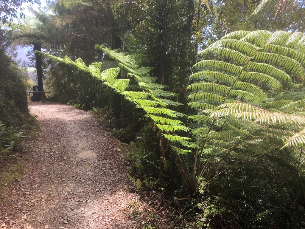
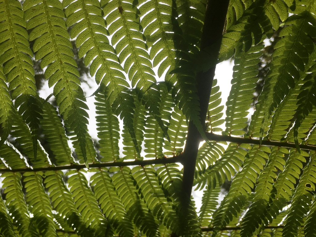 The first day on the Heaphy is a steady climb of about 800 metres over 16.5 km through the bush. The track is exceeding well benched and graded as it is an old packhorse track originally surveyed and built in the 1880s. I gave the occasionally whinny of thanks and appreciation. It was easy walking, but an 800m climb is still an 800m climb - so plenty of rest stops to enjoy the bush (be still my beating heart).The next days was a dawdle to reach the Gouland Downs - where I spent two nights. 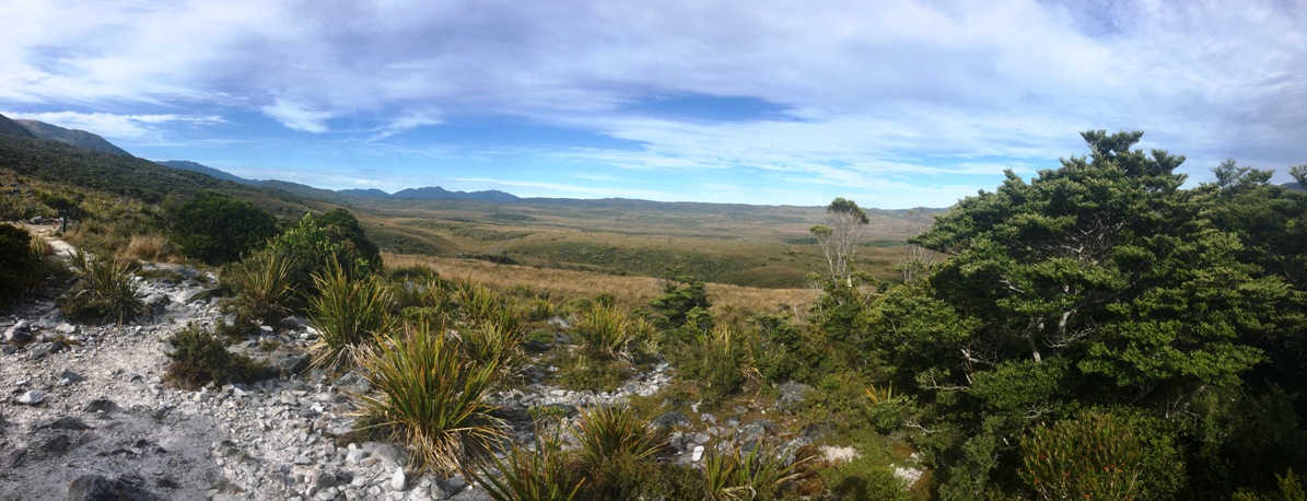 The Downs is an area just at and above treeline with a large variety of native flora - and a great place for a long day walk - then it was back out down the way I came in. My boots fell apart on the way out - held together with duct tape at the end. Never buy HiTec boots. 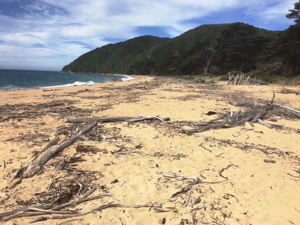
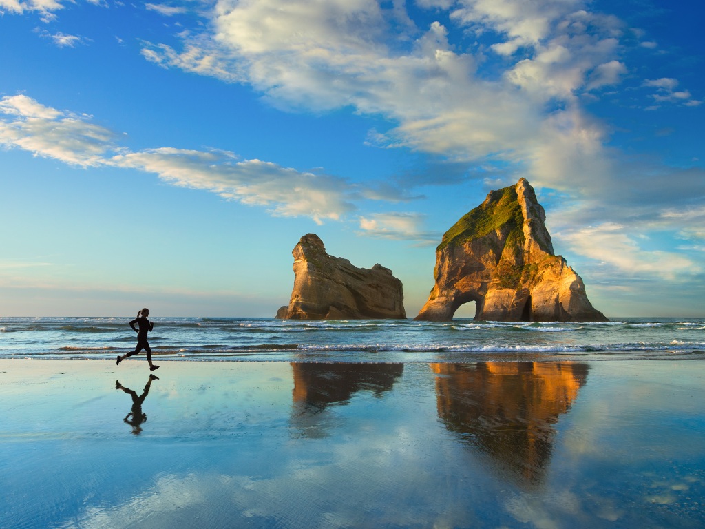 I had 2 weeks in Golden Bay - walking and golfing and beaching. The golden sand gives the place it's name. It is also the home to my favourite beach in New Zealand - Whakariki Beach - as shown in the Windows screensaver. Wellington Then it was off to Wellington via the ferry to have a look at the North Island. First stop was the eco-sanctuary of Zealandia - a "mainland island". It was the Wellington water supply catchment in Victorian times. The valley is now protected by a predator proof fence and is now host to a truly inspiring population of New Zealand native species. Lots of variety of flora. And fantastic birds, sleepy shags, North Island Robin, Tui, Kaka and more And NZ's living fossil - the Tuatara. What an afternoon! And you may have noticed that I have given up on the phone and started using the camera again - I believe that I can manage to not let it control me - and I do like having the pictures.. The next stop was another eco-sanctuary - this time an actual island. Kapati Island has been a bird sanctuary since the government purchased it in 1897. All the introduced mammals were finally eliminated in the 1980s and many threatened species have found homes there. The ride over starts with a beach launch, I like ferns, female and male Hihi (stitchbirds). Whanganui Whanganui is at the mouth of the river. It has a proud history and a very pleasant ambiance. In Victorian times people came from all over the world to ride the paddle steamers on what Mark Twain called "the Rhine of New Zealand". The Waimarie has been restored and provides a pleasant morning cruise under the supervision of the kingfisher. A hundred years ago they built a new suburb at the top of the river bluff - but no one wanted to live there because of the climb. So they dug a tunnel into the bluff to meet an elevator to the top, and it is still running (https://en.wikipedia.org/wiki/Durie_Hill_Elevator). Some workers commute by elevator from their hilltop homes to the city. Pretty cool. Taranaki The province of Taranaki is dominated by the volcano. My visit started with a very pleasant evening with friends of friends. Like most New Zealand provincial centres, New Plymouth has a number of lovely parks. The fancy white bridge was at the lake where I parked up waiting to the weather to improve (this is a picture of a picture). I waited a day to get better conditions for the Pouakai Circuit - 3 days/2 nights. The first day of the circuit was my hardest tramping day of the trip so far - 7 hours including ~300metres down and ~600metres up. The first half of the day was through fabulous rainforest - a moss and fern lovers paradise. I would have been in heaven except that the track was sent from the devil - winding in and out of every side canyon and up and down every gully, always over slippery tree root staircases with knee high steps (impossible to capture, but spot the trail blaze?). Happily the second half of the day was mostly above the bushline and on continuous engineered track - staircases and boardwalks. This continued for the rest of the route and is the most extensive, impressive and welcome track engineering that I have seen in New Zealand - and really anywhere outside of Nepal. Even on this great track the climb of Mt. Henry was still a grunt (be still my beating heart). Unhappily for the last hour the weather turned from sun to squally rain. Happily the two trampers who had arrived at the hut ahead of me had the fire roaring. Day 2 was effectively a rest day - down across the Ahukawakawa swamp and onto the flank of the volcano. Two hours to a nice hut shared with the track maintenance gang. Day 3 gave views from Taranaki looking back at the older hills (previous location of the volcano) crossed in days 1 and 2. My new boots (Keen) were a real success, no issues despite the soaking on day 1. Waikato I have
been reading New Zealand history - especially
related to the New Zealand wars. One notable Maori
leader was Te Kooti (https://nzhistory.govt.nz/war/te-kootis-war)
who ended up living in the town of Te Kuiti. His
story is also told in one of my favourite works of
historical fiction (Season of the Jew). I thought
that the similarity of the names must imply a
tighter connection - but it is just a coincidence. Every New Zealand town has a war memorial, Te Kuiti goes several better with the meeting house donated by Te Kooti, and statues dedicated to Colin "Pinetree" Meads (the consensus best ever rugby player) and a giant shearer (Te Kuiti being the home to the Golden Shears competition).
Tourists have been visiting
Waitomo
glow
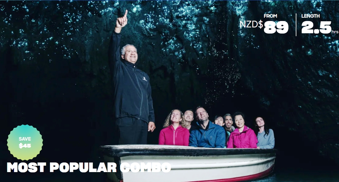
worm caves for more than 125 years. The caves
have the usual "mites" and "tites, but it is the glow
worms that are the "stars" - making constellations
across the roof of the cavern and beyond. Great fun.
Photography in a cave without a tripod is hopeless -
so a hand held 2 second exposure of the glow worms and
some blurry formations will need to suffice to prove
that I was there. My visit to the coastal resort of Raglan was on the final day of a holiday weekend. The place was hopping, but I mostly laid low, watched the Super Bowl semi-finals, and enjoyed a really tasty battered snapper and chips at the wharf. Northland My run of golden weather had to end sometime. So it did. As I blasted through Hamilton and Auckland, a strong on-shore wind sprang up. In quick succession my ferry ride to Tiritiri Matangi, a swim at the marine sanctuary at Goat Island, and a coastal walk at Mangawhai Heads were all scrubbed. I switched to the west coast with some limited success. The Waipoua Forest is
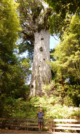
the largest remnant of the kauri forests that once
covered the northern half of the north island. They
were exploited for both wood and gum. the largest
remaining tree is Tane Mahuta (Lord of the Forest)
with his humble servant for scale. For some reason I woke much earlier than usual and made a start. I made the 10 minute drive back to the Cape parking lot to find it still in thick mist. I decided to make the walk to the lighthouse anyway, and as I started the mist lifted. It swirled and the sun slowly emerged. With true serendipity I had the best 30 minutes of the day for the walk. Truly magical. I know that you know this, but the words and pictures provide only the barest hint of what it was like. You just had to be there. The feeling was emphasized by the knowledge that in Maori legend the Cape is the departure point for the spirits of the dead to make the journey over the sea to the ancestral homeland. A spiritual place. And, like all "ends of the earth" it is wild and rugged with the surging waters of the Pacific Ocean and the Tasman Sea roiling below. Wow. Now, southbound. I didn't get access to 90 Mile Beach that runs the length of the west coast of the far north, except where it spills over to the east as giant sand dunes. I went to the Mangonui Fish Shop as 2 mates had independently recommended it as the "best fish and chips in New Zealand". I had the Bluenose and a local chardonnay - which was excellent and served on the deck over the harbour - so all good - even at $30 for fish and chips! I was happy. I visited the Waitangi Treaty Grounds 182 years and 1 day after February 6, 1840. Admission included a guided tour of the grounds and a Maori cultural performance. The museum was excellent, as were both the tour and the performance. The museum gives a warts and all view of the "partnership" between the Crown and the Maori; the guide made it clear that the discrepancies between the English and Maori versions of the document had yet to be resolved, and the performance was genuinely respectful, but also great fun and done with real enthusiasm. Kawakawa is a nice provincial town with an excellent freedom camping setup, $3 hot showers at the pool, and a very pleasant library - so a great place to catch up on communication on a drizzly day. It also has a steam train down the main street on weekends, and is one of the few places where the public toilets are a tourist attraction. They are dedicated to local/Austrian artist Hundertwasser and the whole town has taken on his funky colorful mosaic vibe. A short ferry ride across the Bay of Islands from Waitangi gets you to Kororareka, the first European settlement in NZ - today called Russell. There is lots of history here too, but it is also a an attractive and pleasant beach resort. This is in strong contrast to the early 1800s when it was a rough whaling supply station known as the "Hell Hole". Darwin visited in 1835 and said it was the home to "the very refuse of society". With the cove, beaches, and cottages it has a real feel of coastal New England - but subtropical. The history here revolves around the story of Hone Heke - I won't tell it here, but it is worth a read. Hone was among the first tribal leaders to sign the Treaty, but was soon dis-satisfied with the British. In an act of rebellion he and his warriors cut down the flagstaff at Kororareka 4 times. The 4th time, the town was looted then destroyed by naval bombardment and the first NZ war was started. When I walked to the flagstaff, it was off limits as it had been attacked over the 182nd anniversary of the Treaty signing as a protest. The war saw several heavy defeats of the British at Maori "pa" - specially constructed fortified sites. Few of these battle sites have survived - as the Maori normally abandoned them when they had served their purpose. One historian said words to the effect that "after the Maori retreated the settlers took over, cleared the evidence, started farming, and named the nearest road for the commander of the British forces". An exception is Ruapekapeka Pa - "The Bats Nest". It is extremely well set out with a nice walking track and plenty of informative and respectful signage. Today the site is in the rolling pastoral hills of Northland, but the track to the site gives a hint of the conditions at the time - and the difficulty of the British getting their guns in place. The track goes first to the British encampment, for a memorial to their fallen, and a view of the Pa site. Then across the battle field to the Pa itself - where remains of the trenches and fortifications remain. I was lucky enough to have the place to myself, as the school group arrived as I was leaving, and the drizzle threatened but never arrived. I had tried to stay overnight on Tiritiri Matangi island eco-sancuary on the way north, but was blow out. The same thing happened going south, but at least this time I was able to get there for the day.
So, more
pictures of birds. I never thought I would take so
many - but if you go to wild places in New Zealand,
the birds are the highlights. On Tiritiri they have
introduced the flightless Takahe - once thought
extinct but now breeding. The birdsong in the bush,
especially from the bellbirds and tuis, was so loud
and sustained that, combined with the cicadas, it
easily overcame my tinitus and deafness. Superb. Coromandel I zapped back through Auckland and parked up at the sports field complex just outside of Thames - where I had good 4G coverage for watching the Super Bowl. I enjoyed the game, but the Hip Hop Halftime show made me feel really old and really white. More birds - after the game
the adjacent sports field was covered with a zillion
oystercatchers - I had never seen more than 2 together
before - and then they all took flight. The walk to the Pinnacles
Hut up the Kauaeranga valley is a 500 meter climb
mostly up a 100 year old packhorse trail or steps and
cobblestones. A good chance to have a bit of a blowout
after recent relative sloth. The track is remarkably
well preserved and very welcome, but the history is
dire. The trail was built by the
kauri loggers in the early 1900s. The trees were too
big to cart down the rough terrain, so they built dams
in the valleys, stored the logs behind them until it
rained, then washed them all down in the floods. Some
of the dams remain - but the kauri were all taken -
many smashed to bits along the way. As the bush is now
protected, the track is through regenerating native
forest with many young kauri, plus rimu and other
species. Come back in 500 years and the track may be
gone but the trees will be back. The summit track to
the Pinnacles is a further 180 metres up over steps
and ladders - with nice views back over the central
Coromandel mountains and the hut. You would need to look pretty hard to find a more pleasant coastal drive than the hour or so between Thames and Coromandel Town. A sedate 50 kph along the sequence of beaches, mudflats and headlands, with curves but not tortuously twisty, and plenty of turnouts to let faster folk pass, in the sunshine with Coldplay on the stereo - quite nice. Coromandel Town is a suitably relaxed and quaint destination for this journey, but it is the east coast beaches that make Coromandel a holiday destination.
At the northern end of the sealed road it is a 20 minute walk to Wainuiototo - aka New Chums Beach. If you like azure water, white sand and fringing Nikau palms, then you will like this place. As I shared the beach with 4 other people I was forced to walk an extra 100 metres before skinny dipping in the gentle warm sea. Superb. Heading south delivers one
amazing beach, with a pleasant beach village, after
another. Cooks Beach is where Cook stopped and
observed the transit of Mercury - naming the place
Mercury Bay. Hei Hei beach is the gateway for
Cathedral Cove -- about as opposite in tourist numbers
and activities from Wainuiototo as you can get. At Hot
water Beach they dig shallow holes at low tide for a
free spa bath. But the fact that the water was
bubbling hot in places, and that the day was in the
high 20s Celsius,meant that I chose to swim in the sea
- as at all these beaches. I am not really a beach
holiday sort of person, but this stretch of coast
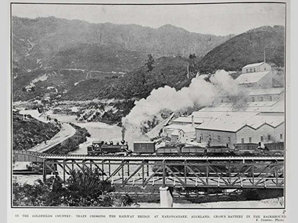
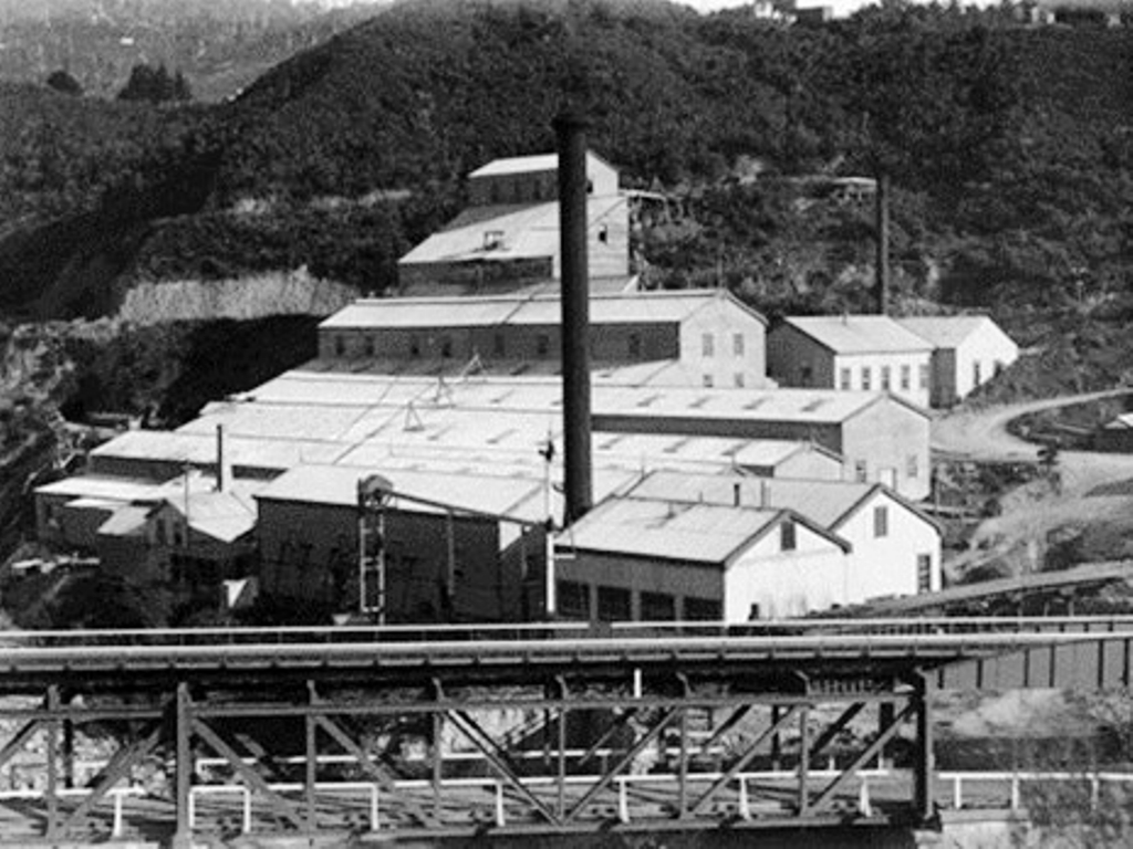
almost converted me. Like the Kauri loggers further north the gold miners of the Karangahake George left huge environmental damage - with digging of the ore, baking, crushing, and extraction with cyanide in huge plants consuming earth, water and trees. Also like the loggers the left behind evidence of remarkable engineering. Including a 1.1 kilometer rail tunnel, the light at the end of which now has rail trail cyclists waiting to ride through. The tracks around the site are well laid out and full of good information plus, with the regeneration of the bush, a pleasant nature walk too. Saying that Waihi is a gold mining town is an understatement. Yes, there is a long history of mining here. And yes, there is an active gold mine too. But the striking thing is the open pit in the centre of town. These 2 photos were taken about 50 meters apart. Bay of Plenty + Tongariro Bay of Plenty is another James Cook name, and this area is indeed productive and fruitful. My first port of call was Mt. Maunganui near Tauranga. Even though I have been on holiday I haven't visited many holiday resort places. So, I decided to call into Mt. Maunganui, staying at the holiday park at the bottom of the Mount. The resort town was full of bars and restaurants, and the beach busy during the day. I tried to go to the burger joint recommended in the guidebook, but it was closed on Sunday. So, I went to the place called Good Burgers next door, but, unfortunately it didn't live up to it's name. I did laundry and moved on. I called into Te Puke, The Kiwifruit Capital of the World, in a downpour. I had hoped to try the new red variety and get some freshly picked fruit, but was too early for the picking season. The vines were laden. My nose is not super-sensitive, but I could smell Rotorua long before reaching it. More properly, I could smell the sulphur smell from geo-thermal activity before reaching Rotorua - because the geo-thermal region stretches from White Island offshore south to the volcanoes of Tongariro National Park. The Victorians came to Rotorua to "take the waters". The historic Bath House building is closed awaiting earthquake strengthening, but the croquet lawns are still in good shape. The earth has only a few thermal areas that contain geysers - principally Yellowstone, Iceland, Kamkatcha, and Rotorua. The northern hemisphere geysers are bigger, but the Rotorua field of Whakarewarewa contains a living Maori village, and is thus an interesting blend of natural wonder and cultural experience. The locals still use the hot springs for cooking, and there is a school for traditional arts onsite. The guide walked us right out onto the silica terrace about 5 metres from the world's fourth largest geyser - Pohutu - admittedly between eruptions, but you don't get that in Yellowstone! See below for a short video of the eruption. I visited 4 thermal areas - Whakarewarewa/Te Puia, Maunganui, Orakei Krakao, and Tongariro National Park spaced over a few hundred kilometres north to south. All are quite different with their own special features of hot springs, silica terraces and the like, but it is the mud pools that I like the best - burping, belching, spurting and always the smelliest. And a video too. The geek in me wanted to visit the geo-thermal power station at Wairakei, but they don't have a Visitors Centre or do tours. However, the plant sprawls across vast stretches of the countryside, so I just drove in and looked around. Looks very complicated! I had hoped to do the 4 day/3 night Tongariro Circuit, but the huts were booked out, so I went for the Tongariro Crossing day walk. The Crossing is 19.4 kilometers with ~900 meters of up and ~1200 meters of down. The track winds around Ngauruhoe volcano and through Tongariro. Red Crater is at the summit and Emerald Lakes the lunch stop. The long descent is with views of Lake Taupo in the distance. The lake is the caldera left by an enormous eruption. The track guides suggests 6-8 hours for the crossing. I did it in 7 on the dot, while never rushing. All in all, I was eminently satisfied with the performance of my new boots and my old body. Hawkes Bay Napier was destroyed in a 7.8 magnitude earthquake and subsequent fire in February of 1931. When it was rebuilt, Art Deco was all the rage, and the city has embraced that history. Great Gatsby wherever you look. Hawke Bay and Cape Kidnappers are again Jame Cook names. To be fair, the local Maori claim that the 1769 incident in which a Tahitian boy was abducted from the Endeavour was an attempted rescue, not a kidnapping. Still, the boy certainly didn't want to be "rescued" as he escaped as soon as he could, and the name has stuck. Both the journey and the destination for the Cape Kidnappers Gannet Adventure are fantastic. The same family has been running tours along the beach from the end of the road to the colony for 70 years. Interestingly, there were no gannets here when Cook was here. The colony didn't get established until the late 1800s. Today they use vintage American tractors (Minnesota Moline brand) to tow carts of passengers along the beach. Sounds like a bit of fun - but in fact it was a real thrill ride. The width of the beach is never more than a small fraction of the height of the cliffs, and the driver was constantly weaving around rocks and slips to find a path. More than twice we were axle deep in the surf with we PAX lifting our feet and holding on. The thrill was made more real by the safety release we all signed, and the knowledge that 2 walkers were killed in a rockfall in 2019. I have visited numerous bird colonies with closely packed birds and lots of activity, but these have been mostly penguins. Flying bird colonies are normally not accessible (even via a thrill ride), or contain nests scattered over a wide area. The gannets here are all clustered together and seemingly oblivious to the humans. In late February all stages of breeding were in action, from the downiest of new born chicks, to adults coming and going - greeting and feeding, to the new fledged juveniles trying to get the hang of this flying thing. When they do take off, then their first flight is to fly immediately to the east cost of Australia to spend 4-5 years. New Zealand human young adults today all try to get away for their "OE" Overseas Experience - so perhaps the gannets are following their lead? Once they return they settle down locally - again often like the humans. Wairarapa
Wairarapa is best known for civilized and genteel
activities - like growing grapes and drinking wine. An
E-bike winery tour seemed an appropriate activity, but
the wineries were mostly closed to protect their staff
from Omicron during the critical harvest season. So I grabbed a bottle of local
Pinot Gris and headed for a wild place - Cape Palliser
(you guessed it, another James Cook name).
In my travels I often park up at a local Park. The Parks are often quiet, pleasant places to spend the evening. Usually there are other traveling vans, and sometimes there are semi-permanent locals living in their vehicles. This can seem a bit daunting, but my experiences with these folks has been universally positive. Perhaps I have been lucky? There were several in the Henley Lake Park where I parked in Wairarapa, and the lake had an amazing abundance and variety of water birds (sorry more birds), including more Canada Geese than I have ever seen in once place, including when I lived near Canada. Cape Palliser has 3 main attractions, human, geologic and wildlife. In order of interest to me they are:
Geologic - Putangira Pinnacles are eroding out of gravels along the stream bed. I think that in North America they would be called Hoodoos. There is a nice 2 hour round trip bush walk to reach the. As an aside, other than the abundant sunshine, the wine makers love this region for the free draining gravels (he said taking another sip of the Pinot Gris)
Human - Cape Palliser is the southernmost point of the North Island (which is another attraction for me). The South Island is easily visible across Cook Straight - some of it by looking in a northerly direction. The lighthouse is perched at the top of a 150 step climb, and was suitably windswept on my visit.
Wildlife - not birds this time you will no doubt be
relieved to learn - but fur seals. This stage of the
season is the perfect time to visit a fur seal colony.
The potentially aggressive bulls have buggered off,
and the females are mostly out feeding because the
pups are either just weaned or about-to-be weaned.
They form big playful groups in the tide pools - as
shown in the video. They are super fun to watch and
endearing, having this bit of time before they need to
start making their own living. From there I made a quick stop in Welllington to take the tour of Weta Workshop - the home of special effects for Peter Jackson, James Cameron and others.
I walked around the central city including the area around the Beehive, which had been cleared of protesters the previous day in a violent confrontation. Then on the ferry for another placid crossing and back to Christchurch to switch the van for my electric car (none to soon with petrol prices hitting $3 per litre thanks to Putin's war), get my wrist "fixed" and see where life goes next. I hope that you enjoyed the ride.
|


